Flooding Risks from Tropical Moisture Across the Intermountain West and East Coast
Tropical moisture from Isaias and Rachel will impact portions of the Intermountain West and East Coast states. Flooding, gusty winds and even a threat for severe thunderstorms and tornadoes are possible. Meanwhile, record warmth will spread northward across the Mississippi Valley the next few days. Looking for snow, the first winter storm of the season is underway across the northern Rockies. Read More >

Last Update: 309 AM CDT Sun Oct 11 2026
For More Weather Information:
38NM SW Morgan City LA
Marine Zone Forecast
Today
Southeast winds around 5 knots. Seas 1 foot or less. Wave detail: south 1 foot at 2 seconds.
Tonight
Southeast winds 5 to 10 knots. Seas 1 to 2 feet. Wave detail: southeast 1 foot at 2 seconds.
Monday
Southeast winds 10 to 15 knots. Seas around 2 feet. Wave detail: southeast 1 foot at 3 seconds.
Monday Night
Southeast winds 5 to 10 knots. Seas around 2 feet. Wave detail: southeast 1 foot at 3 seconds.
Tuesday
Southeast winds 5 to 10 knots. Seas around 2 feet. Wave detail: southeast 1 foot at 3 seconds.
Tuesday Night
Southeast winds 5 to 10 knots. Seas around 2 feet. Wave detail: southeast 1 foot at 3 seconds.
Wednesday
Southeast winds 5 to 10 knots. Seas 1 foot or less, then around 2 feet in the afternoon.
Wednesday Night
Southeast winds 5 to 10 knots. Seas around 2 feet.
Thursday
East winds 5 to 10 knots. Seas around 2 feet.
Thursday Night
East winds 5 to 10 knots. Seas around 2 feet.
Additional Forecasts and Information
Basemap Options
Click map to change the forecast location
Loading map...
 Forecast Area
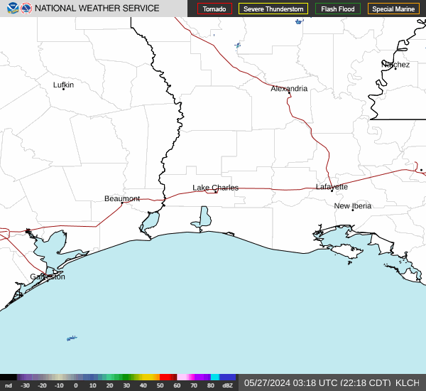
RADAR & SATELLITE IMAGES