Heavy Rain and Severe Thunderstorms in the Southwest; Coastal Flooding Along Portions of the Eastern Seaboard
A slow moving front will produce a threat for heavy rainfall and severe weather from the southwest into the western High Plains through the weekend. Heavy rainfall and isolated flash flooding and gusty winds will be possible this weekend into early next week in portions of southern Florida. Coastal flooding impacts remain possible through the weekend along the Southeast and Mid-Atlantic coasts Read More >

Hazardous Weather Conditions
Last Update: 310 AM CDT Fri Oct 23 2026
For More Weather Information:
20NM ESE Racine WI
Marine Zone Forecast
Today
Southeast winds 10 to 15 kt. Patchy dense fog this morning. Waves 1 to 2 ft.
Tonight
Southeast winds 10 to 15 kt becoming south 10 to 20 kt. Waves 1 to 3 ft.
Saturday
South winds 10 to 20 kt increasing to 15 to 25 kt. Waves 2 to 4 ft building to 4 to 6 ft occasionally to 8 ft.
Saturday Night
South winds 15 to 25 kt diminishing to 10 to 20 kt. Waves 4 to 6 ft occasionally to 8 ft subsiding to 3 to 5 ft.
Sunday
South winds 10 to 20 kt. Waves 2 to 4 ft.
Sunday Night
Southwest winds 5 to 10 kt veering to north 10 to 20 kt. Waves 1 to 3 ft.
Monday
Northeast winds 10 to 20 kt increasing to 15 to 25 kt. Waves 4 to 6 ft occasionally to 8 ft.
Tuesday
East winds 10 to 20 kt. Waves 3 to 5 ft.
Additional Forecasts and Information
Basemap Options
Click map to change the forecast location
Loading map...
 Forecast Area
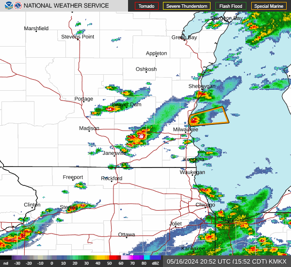
RADAR & SATELLITE IMAGES