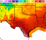
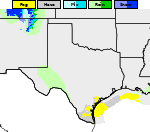
Autumn Temperatures for Eastern Third of the Country; Developing Offshore Coastal Storm
Cooler and less humid conditions for most of the eastern third of the nation as high pressure dominates the weather pattern. Otherwise, rather tranquil weather for most of the nation for the end of the weekend into the start of this week. We continue to monitor a developing coastal storm offshore of the Carolinas; Coastal flooding and beach erosion possible along portions of the Mid-Atlantic. Read More >

Current conditions at
Okmulgee, Okmulgee Municipal Airport (KOKM)
Lat: 35.67° N Lon: 95.95° W Elev: 722 ft.
Fair
66°F
19°C
| Humidity | 40% |
| Wind Speed | S 10 mph |
| Barometer | 30.37 in |
| Dewpoint | 41°F (5°C) |
| Visibility | 10.00 mi |
| Last update | 18 Oct 1:15 pm CDT |
Detailed forecast for
McIntosh County
This Afternoon
Sunny. Near steady temperature in the mid 60s. South winds around 5 mph.
Tonight
Mostly clear in the evening, then becoming partly cloudy. Lows in the mid 40s. Southeast winds around 5 mph.
Monday
Sunny. Highs in the mid 70s. Southeast winds around 5 mph.
Monday Night
Mostly clear in the evening, then becoming partly cloudy. Lows in the upper 40s. Light and variable winds.
Tuesday
Sunny. Highs in the mid 70s. Southeast winds around 5 mph.
Tuesday Night
Mostly clear. Lows around 50.
Wednesday
Sunny. Highs in the upper 70s.
Wednesday Night
Clear. Lows in the mid 50s.
Thursday
Sunny. Highs in the lower 80s.
Thursday Night
Mostly clear. Lows in the mid 50s.
Friday
Sunny. Highs in the lower 80s.
Friday Night
Partly cloudy. Lows in the upper 50s.
Saturday
Mostly sunny. Highs in the lower 80s.
Basemap Options
Click map to change the forecast location
Loading map...
 Forecast Area
Additional Resources
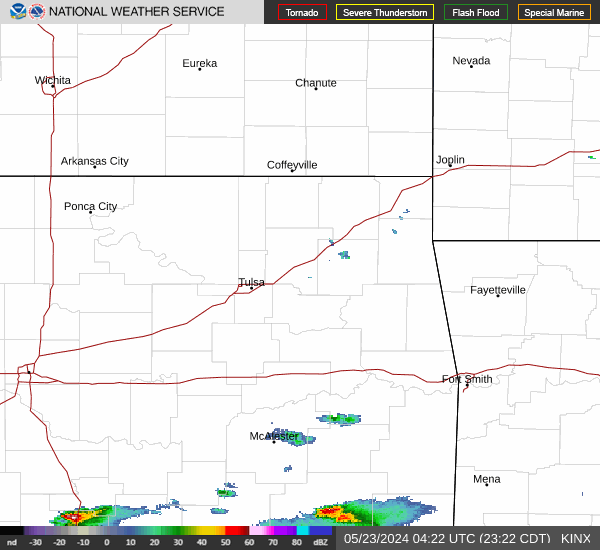
Radar & Satellite Image

Hourly Weather Forecast