Last Update: 309 AM AKST Sat Nov 7 2026
For More Weather Information:
15NM E Dangerous Cape AK
Marine Zone Forecast
Synopsis: A 990 mb low 60 nm S of Seward moves to 50 nm SE of Kodiak City
at 991 mb this afternoon. This low remains nearly stationary
through Sun afternoon before dissipating Sun evening. A 960 mb N
Pacific low sends its front into the southern Gulf of Alaska Sun
evening. The front lifts to the north-central Gulf by Mon morning.
Today
NW wind 20 kt in the morning becoming variable 10 kt. N of dangerous cape, variable wind 10 kt. Seas 5 ft.
Tonight
Variable wind 10 kt. Seas 5 ft.
Sun
Variable wind 10 kt. Seas 4 ft.
Sun Night
E wind 20 kt. Seas 6 ft.
Mon
N wind 35 kt. Seas 17 ft.
Tue
NW wind 30 kt. Seas 17 ft.
Wed
NW wind 20 kt. Seas 10 ft.
Basemap Options
Click map to change the forecast location
Loading map...
 Forecast Area
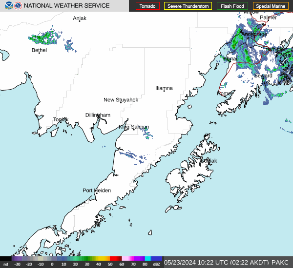
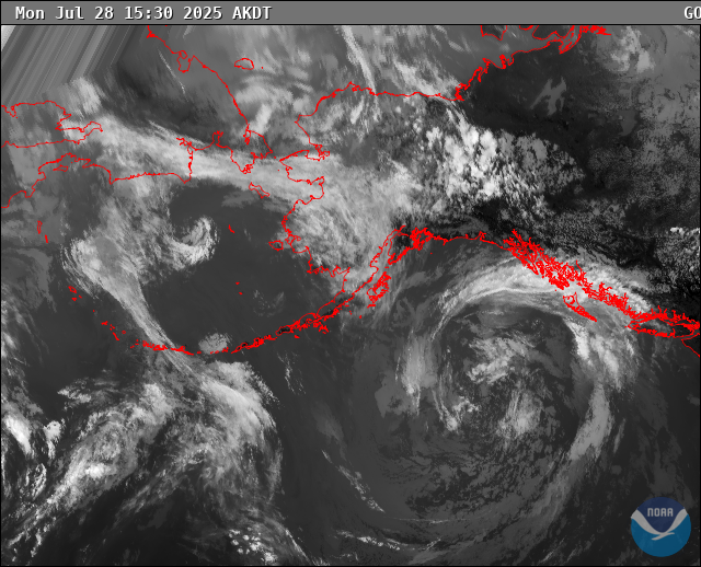
RADAR & SATELLITE IMAGES