Heavy Rain and Mountain Snow for California; Flooding Impacts Likely in Eastern Florida
Another Pacific storm will bring heavy to excessive rainfall and possible flooding for coastal central and southern California Wednesday through Thursday, while heavy mountain snow is expected across the Sierra Nevada mountains. Heavy to excessive rainfall will likely bring flash and urban flooding impacts along the I-95 corridor from St. Augustine to Palm Beach, Florida through this weekend. Read More >

Hazardous Weather Conditions
Last Update: 231 PM PST Tue Nov 17 2026
For More Weather Information:
48NM WNW Fort Bragg CA
Marine Zone Forecast
...SMALL CRAFT ADVISORY IN EFFECT UNTIL 3 PM PST THIS AFTERNOON... ...GALE WARNING IN EFFECT THROUGH LATE TONIGHT...
Tonight
S wind 25 to 35 kt with gusts up to 50 kt, veering to W 20 to 25 kt with gusts up to 35 kt after midnight. Seas 12 ft. Wave detail: S 12 ft at 9 seconds and NW 10 ft at 13 seconds. A slight chance of tstms this evening. Rain.
Wed
SW wind 10 to 15 kt. Seas 13 ft. Wave detail: S 9 ft at 9 seconds and W 12 ft at 15 seconds. Showers.
Wed Night
SE wind 10 kt. Seas 14 ft. Wave detail: S 5 ft at 12 seconds and W 14 ft at 14 seconds. Showers.
Thu
N wind 15 to 20 kt. Seas 14 ft. Wave detail: W 14 ft at 15 seconds. A chance of showers.
Thu Night
NW wind 15 to 20 kt. Seas 10 ft. Wave detail: NW 10 ft at 13 seconds and S 4 ft at 13 seconds.
Fri
W wind 5 to 10 kt. Seas 7 ft. Wave detail: NW 7 ft at 12 seconds.
Fri Night
S wind 20 to 25 kt with gusts up to 35 kt. Seas around 6 ft. Wave detail: NW 6 ft at 12 seconds. Rain likely.
Sat
SW wind 15 to 20 kt. Seas 8 ft. Wave detail: SW 7 ft at 7 seconds and NW 5 ft at 13 seconds. Rain.
Sat Night
W wind 10 to 15 kt. Seas 9 ft. Wave detail: W 9 ft at 12 seconds and S 6 ft at 14 seconds. Rain likely.
Sun
SW wind 10 to 15 kt. Seas 10 ft. Wave detail: W 10 ft at 13 seconds. Rain likely.
Sun Night
S wind 10 to 15 kt. Seas 13 ft. Wave detail: W 13 ft at 14 seconds. A chance of rain.
Basemap Options
Click map to change the forecast location
Loading map...
 Forecast Area
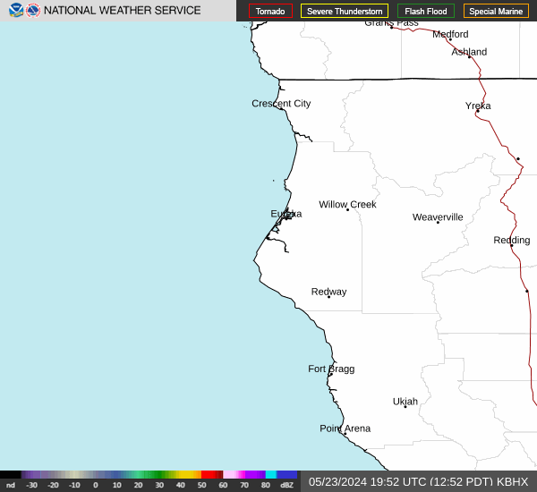
RADAR & SATELLITE IMAGES