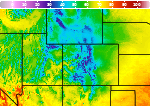
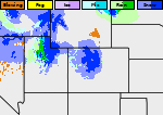
Extreme Heat Across the Southern U.S.; Severe Thunderstorms and Heavy Rain in the Plains and Mississippi Valley
A heat wave over the Southwest will intensify late week, peaking and expanding into the Intermountain West and northern High Plains this weekend. Severe thunderstorms and heavy rain are expected over portions of the Plains and Mississippi Valley tonight, which will shift to parts of the Upper Midwest and mid-Mississippi Valley Friday. Monsoonal showers and flooding persist in the Desert Southwest. Read More >

Current conditions at
Eagle County Regional (KEGE)
Lat: 39.65° N Lon: 106.91667° W Elev: 6539.0 ft.
Clear
66°F
19°C
| Humidity | 42% |
| Wind Speed | E 4 MPH |
| Barometer | 30.36 in (1028.11 mb) |
| Dewpoint | 43°F (6°C) |
| Visibility | 10.00 mi |
| Last update | 30 Jul 11:20 PM MDT |
Detailed forecast for
Central Colorado River Basin
Overnight
Mostly clear. Lows 45 to 55.
Friday
Sunny. Highs 85 to 95. Northwest winds 10 to 15 mph with gusts up to 20 mph in the afternoon.
Friday Night
Mostly clear. Lows 45 to 55.
Saturday
Sunny. Highs 85 to 95. Northwest winds 10 to 15 mph with gusts up to 20 mph in the afternoon.
Saturday Night
Mostly clear. Lows 45 to 55.
Sunday Through Monday
Mostly clear. Highs 95 to 100. Lows in the 50s.
Monday Night
Partly cloudy. Lows in the 50s.
Tuesday Through Thursday
Mostly clear. Highs 95 to 100. Lows in the 50s.
Additional Forecasts and Information
Basemap Options
Click map to change the forecast location
Loading map...
 Forecast Area
Additional Resources
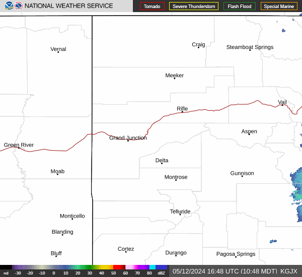
Radar & Satellite Image

Hourly Weather Forecast