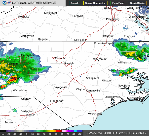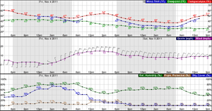


Late January Extreme Cold; Watching East Coast Storm Threat This Weekend
The next blast of Arctic air surges south down the Plains, across the Great Lakes and through the Southeast and East Friday through Saturday. This could be longest duration of cold in several decades. Forecast models are being closely monitored for potential of another significant winter storm to impact the eastern United States this coming weekend. Confidence in coastal impacts has increased. Read More >
Hazardous Weather Conditions

Current conditions at
Roxboro, Person County Airport (KTDF)
Lat: 36.29° N Lon: 78.98° W Elev: 610 ft.
Fair
32°F
0°C
| Humidity | 40% |
| Wind Speed | W 7 mph |
| Barometer | 30.15 in |
| Dewpoint | 10°F (-12°C) |
| Visibility | 10.00 mi |
| Wind Chill | 25°F (-4°C) |
| Last update | 27 Jan 9:15 pm EST |
Detailed forecast for
Orange County
Tonight
Mostly clear. Cold with lows around 17. West winds around 5 mph, becoming northwest around 5 mph after midnight.
Wednesday
Mostly cloudy in the morning, then clearing. Highs in the upper 30s. Northwest winds around 5 mph.
Wednesday Night
Clear, cold with lows around 16. Northwest winds around 5 mph.
Thursday
Mostly sunny. Highs in the mid 30s. Northwest winds 5 to 10 mph.
Thursday Night
Partly cloudy. Cold with lows around 18. Light and variable winds.
Friday
Mostly cloudy. A slight chance of snow in the afternoon. Highs in the mid 30s. Chance of snow 20 percent.
Friday Night
Mostly cloudy with a 50 percent chance of snow. Cold with lows 10 to 15. Wind chill values as low as 5 above.
Saturday
Snow likely, mainly in the morning. Moderate snow accumulation possible. Colder with highs in the lower 20s. Chance of snow 60 percent. Wind chill values as low as zero.
Saturday Night
Mostly cloudy with a 50 percent chance of snow. Cold with lows around 10 above. Wind chill values as low as zero.
Sunday
Partly sunny. Cold with highs in the upper 20s. Wind chill values as low as 5 below in the morning.
Sunday Night
Mostly clear. Cold with lows 10 to 15. Wind chill values as low as 5 above.
Monday
Partly sunny. Highs in the mid 30s.
Monday Night And Tuesday
Mostly clear. Lows 15 to 20. Highs in the upper 30s.
Basemap Options
Click map to change the forecast location
Loading map...


