Heavy Rainfall and Severe Thunderstorms in the Southern Plains
A slow moving front combined with tropical moisture will maintain the threat of locally considerable flash/urban flooding across much of Texas and Oklahoma through Friday. Isolated severe storms capable of mainly severe wind gusts appear possible over portions of Kansas, Oklahoma, and Texas this afternoon and evening. Read More >

Current conditions at
Buckley Space Force Base (KBKF)
Lat: 39.71°NLon: 104.76°WElev: 5577ft.
Partly Cloudy
65°F
18°C
| Humidity | 50% |
| Wind Speed | Vrbl 3 mph |
| Barometer | 30.25 in (1018.8 mb) |
| Dewpoint | 46°F (8°C) |
| Visibility | 10.00 mi |
| Last update | 1 Oct 12:58 pm MDT |
Extended Forecast for
Aurora CO
This Afternoon

High: 70 °F
Mostly Sunny
Tonight

Low: 50 °F
Mostly Clear
Friday

High: 79 °F
Sunny
Friday Night
Low: 53 °F
Mostly Clear
Saturday

High: 83 °F
Sunny
Saturday Night
Low: 53 °F
Mostly Clear
Sunday
High: 81 °F
Sunny
Sunday Night

Low: 55 °F
Clear
Monday
High: 85 °F
Sunny
Detailed Forecast
This Afternoon
Mostly sunny, with a high near 70. North northeast wind 7 to 9 mph becoming east southeast. Winds could gust as high as 15 mph.
Tonight
Mostly clear, with a low around 50. East southeast wind 9 to 13 mph becoming south after midnight. Winds could gust as high as 21 mph.
Friday
Sunny, with a high near 79. South wind 6 to 13 mph, with gusts as high as 22 mph.
Friday Night
Mostly clear, with a low around 53. South southwest wind 7 to 14 mph, with gusts as high as 23 mph.
Saturday
Sunny, with a high near 83. Light and variable wind becoming northeast 5 to 10 mph in the afternoon. Winds could gust as high as 17 mph.
Saturday Night
Mostly clear, with a low around 53.
Sunday
Sunny, with a high near 81.
Sunday Night
Clear, with a low around 55.
Monday
Sunny, with a high near 85.
Monday Night
Partly cloudy, with a low around 59.
Tuesday
Mostly sunny, with a high near 83.
Tuesday Night
Partly cloudy, with a low around 57.
Wednesday
Sunny, with a high near 80.
Additional Forecasts and Information
Basemap Options
Click map to change the forecast location
Loading map...
 Forecast Area
ABOUT THIS FORECAST
Point Forecast:
Aurora CO
39.69°N 104.81°W (Elev. 5515 ft)
39.69°N 104.81°W (Elev. 5515 ft)
1:43 pm MDT Oct 1, 2026
1pm MDT Oct 1, 2026-6pm MDT Oct 7, 2026


Additional Resources
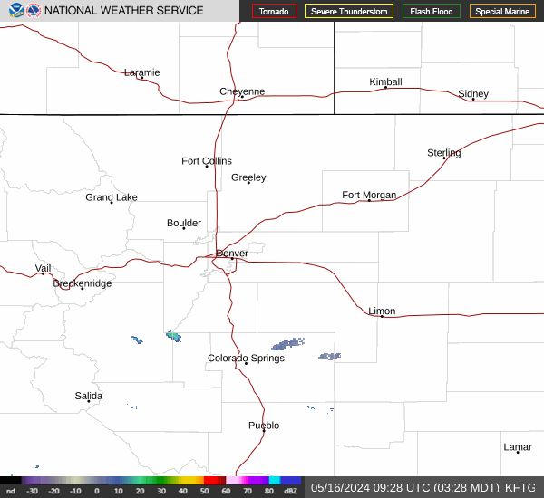
Radar & Satellite Image

Hourly Weather Forecast