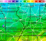
Areas of Heavy to Excessive Rainfall and Hot Temperatures This Week

Heavy to excessive rainfall could bring areas of flooding at times Monday through Thursday across parts of the central Plains into the Midwest as well as southern Arizona and New Mexico. Hot temperatures and high humidity will continue across much of east Texas into the lower and mid-Mississippi Valley through at least midweek. Read More >

Current conditions at

Peoria - General Downing-Peoria International Airport (KPIA)

Lat: 40.67°NLon: 89.68°WElev: 659ft.

Fair

57°F

14°C

Humidity 83%
Wind Speed N 5 mph
Barometer 30.19 in (1022.0 mb)
Dewpoint 52°F (11°C)
Visibility 10.00 mi
Last update 13 Sep 10:54 pm CDT
Extended Forecast for

Deer Creek IL

  • Tonight

    Tonight: Partly cloudy, with a low around 54. East northeast wind around 8 mph, with gusts as high as 15 mph.

    Low: 54 °F

    Partly Cloudy

  • Monday

    Monday: Mostly sunny, with a high near 78. Southeast wind 8 to 15 mph, with gusts as high as 21 mph.

    High: 78 °F

    Mostly Sunny

  • Monday Night

    Monday Night: Mostly clear, with a low around 68. Southeast wind 15 to 17 mph, with gusts as high as 26 mph.

    Low: 68 °F

    Mostly Clear

  • Tuesday

    Tuesday: A chance of showers between 7am and 4pm, then a chance of showers and thunderstorms after 4pm.  Mostly sunny, with a high near 91. South wind 10 to 15 mph becoming west in the afternoon. Winds could gust as high as 23 mph.  Chance of precipitation is 50%.

    High: 91 °F

    Chance
    Showers then
    Chance
    T-storms

  • Tuesday Night

    Tuesday Night: Showers likely and possibly a thunderstorm.  Mostly cloudy, with a low around 66. North northeast wind 6 to 9 mph, with gusts as high as 15 mph.  Chance of precipitation is 70%. New rainfall amounts between a quarter and half of an inch possible.

    Low: 66 °F

    Showers
    Likely

  • Wednesday

    Wednesday: Showers likely before 1pm.  Mostly cloudy, with a high near 84. East northeast wind around 8 mph.  Chance of precipitation is 70%. New precipitation amounts between a quarter and half of an inch possible.

    High: 84 °F

    Showers
    Likely

  • Wednesday Night

    Wednesday Night: A chance of showers and thunderstorms.  Partly cloudy, with a low around 69. Northeast wind 5 to 7 mph becoming south after midnight.  Chance of precipitation is 50%.

    Low: 69 °F

    Chance
    T-storms

  • Thursday

    Thursday: A 50 percent chance of showers before 1pm.  Partly sunny, with a high near 84.

    High: 84 °F

    Chance
    Showers

  • Thursday Night

    Thursday Night: A 30 percent chance of showers after 1am.  Partly cloudy, with a low around 65.

    Low: 65 °F

    Mostly Cloudy
    then Chance
    Showers

Detailed Forecast

Tonight
Partly cloudy, with a low around 54. East northeast wind around 8 mph, with gusts as high as 15 mph.
Monday
Mostly sunny, with a high near 78. Southeast wind 8 to 15 mph, with gusts as high as 21 mph.
Monday Night
Mostly clear, with a low around 68. Southeast wind 15 to 17 mph, with gusts as high as 26 mph.
Tuesday
A chance of showers between 7am and 4pm, then a chance of showers and thunderstorms after 4pm. Mostly sunny, with a high near 91. South wind 10 to 15 mph becoming west in the afternoon. Winds could gust as high as 23 mph. Chance of precipitation is 50%.
Tuesday Night
Showers likely and possibly a thunderstorm. Mostly cloudy, with a low around 66. North northeast wind 6 to 9 mph, with gusts as high as 15 mph. Chance of precipitation is 70%. New rainfall amounts between a quarter and half of an inch possible.
Wednesday
Showers likely before 1pm. Mostly cloudy, with a high near 84. East northeast wind around 8 mph. Chance of precipitation is 70%. New precipitation amounts between a quarter and half of an inch possible.
Wednesday Night
A chance of showers and thunderstorms. Partly cloudy, with a low around 69. Northeast wind 5 to 7 mph becoming south after midnight. Chance of precipitation is 50%.
Thursday
A 50 percent chance of showers before 1pm. Partly sunny, with a high near 84.
Thursday Night
A 30 percent chance of showers after 1am. Partly cloudy, with a low around 65.
Friday
A 30 percent chance of showers. Mostly sunny, with a high near 82.
Friday Night
A chance of showers. Partly cloudy, with a low around 65.
Saturday
A chance of showers. Mostly sunny, with a high near 82.
Saturday Night
A chance of showers. Mostly cloudy, with a low around 62.
Sunday
A chance of showers. Partly sunny, with a high near 77.
Basemap Options
Click map to change the forecast location
Loading map...

ABOUT THIS FORECAST

 
Point Forecast:
Deer Creek IL
 40.62°N 89.33°W (Elev. 751 ft)
10:36 pm CDT Sep 13, 2026
11pm CDT Sep 13, 2026-6pm CDT Sep 20, 2026
 
Get as KML Get as XML

Additional Resources

Radar & Satellite Image
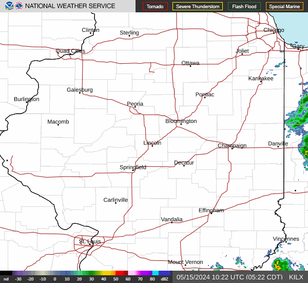
Link to Local Radar Data Link to Satellite Data

Hourly Weather Forecast

National Digital Forecast Database