



Heat Persists in the South Central U.S. and California; Heavy Rain in the Ohio Valley
Sweltering heat remains across the South-Central Plains and Lower/Middle Mississippi Valley, as well as in the Southwest and California this week with limited nighttime relief. Heavy rainfall will lead to localized areas of flash flooding in parts of the Ohio Valley/Central Appalachians. Dry and breezy conditions will enhance fire weather concerns across the northern Rockies and High Plains. Read More >

Greenville Downtown Airport (KGMU)
Lat: 34.85°NLon: 82.35°WElev: 1010ft.
Fair
74°F
23°C
| Humidity | 67% |
| Wind Speed | SW 6 mph |
| Barometer | 30.17 in (1020.5 mb) |
| Dewpoint | 62°F (17°C) |
| Visibility | 10.00 mi |
| Last update | 10 Sep 1:53 am EDT |
Taylors SC
Overnight

Low: 67 °F
Mostly Clear
Thursday

High: 92 °F
Sunny
Thursday Night
Low: 70 °F
Mostly Clear
Friday
High: 93 °F
Sunny then
Slight Chance
ShowersFriday Night

Low: 70 °F
Chance
ShowersSaturday
High: 89 °F
Chance
Showers then
ShowersSaturday Night
Low: 70 °F
Showers
Likely then
Chance
T-stormsSunday
High: 90 °F
Partly Sunny
then Chance
T-stormsSunday Night
Low: 70 °F
Chance
T-storms then
Mostly Clear
Detailed Forecast
Additional Forecasts and Information
 Forecast Area
ABOUT THIS FORECAST
34.9°N 82.31°W (Elev. 961 ft)


Additional Resources
Radar & Satellite Image
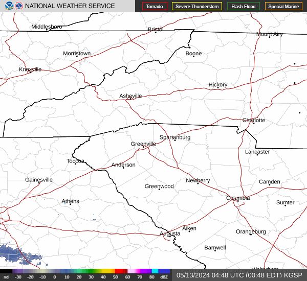

Hourly Weather Forecast


