



Severe Weather and Heavy Rain from the Great Lakes to the Mid-Atlantic; Heat Persists in the East
Widespread strong thunderstorms with damaging winds and locally heavy rain are expected from the Upper Ohio Valley into the southern Mid-Atlantic today and portions of the central Appalachians and Carolinas on Saturday. Monsoonal moisture will bring a flash flooding threat to the Desert Southwest. Sweltering heat persists from the Plains to the southern Mid-Atlantic through tonight. Read More >

Jackson County Airport (K24A)
Lat: 35.32°NLon: 83.21°WElev: 2857ft.
Thunderstorm in Vicinity
88°F
31°C
| Humidity | 55% |
| Wind Speed | Calm |
| Barometer | 30.17 in |
| Dewpoint | 69°F (21°C) |
| Visibility | 10.00 mi |
| Heat Index | 93°F (34°C) |
| Last update | 4 Sep 2:55 pm EDT |
Cullowhee NC
This Afternoon

High: 90 °F
Chance
T-stormsTonight
Low: 69 °F
Slight Chance
T-storms then
Partly CloudySaturday
High: 90 °F
Mostly Sunny
then Chance
T-stormsSaturday Night
Low: 66 °F
Chance
T-storms then
Patchy FogSunday
High: 88 °F
Patchy Fog
then Chance
T-stormsSunday Night
Low: 64 °F
Chance
T-storms then
Slight Chance
ShowersLabor Day
High: 81 °F
Partly Sunny
then Chance
T-stormsMonday Night
Low: 60 °F
Chance
T-storms then
Partly CloudyTuesday

High: 84 °F
Mostly Sunny
Detailed Forecast
Additional Forecasts and Information
 Forecast Area
ABOUT THIS FORECAST
35.32°N 83.18°W (Elev. 2146 ft)


Additional Resources
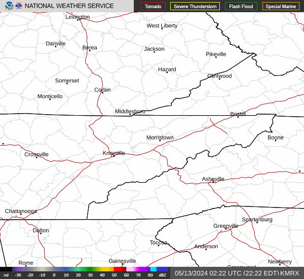
Radar & Satellite Image

Hourly Weather Forecast


