


News Headlines

Current conditions at
Asheville, Asheville Regional Airport (KAVL)
Lat: 35.43°NLon: 82.54°WElev: 2165ft.
Partly Cloudy
81°F
27°C
| Humidity | 65% |
| Wind Speed | SE 8 mph |
| Barometer | 30.09 in (1015.9 mb) |
| Dewpoint | 68°F (20°C) |
| Visibility | 9.00 mi |
| Heat Index | 84°F (29°C) |
| Last update | 4 Aug 1:54 pm EDT |
Extended Forecast for
3 Miles NNW Blantyre NC
This Afternoon

High: 78 °F
T-storms
LikelyTonight
Low: 65 °F
Chance
T-storms and
Patchy Dense
FogWednesday
High: 78 °F
Chance
T-storms and
Areas Fog
then T-storms
LikelyWednesday Night
Low: 65 °F
Chance
T-storms then
Slight Chance
ShowersThursday
High: 81 °F
Chance
Showers then
T-stormsThursday Night
Low: 65 °F
T-storms
Likely then
Partly CloudyFriday
High: 81 °F
Chance
T-storms then
T-storms
LikelyFriday Night
Low: 64 °F
T-storms
Likely then
Partly CloudySaturday
High: 82 °F
Chance
Showers then
T-storms
Detailed Forecast
This Afternoon
Showers and thunderstorms likely, mainly before 5pm. Mostly cloudy, with a high near 78. Light east southeast wind. Chance of precipitation is 70%. New rainfall amounts of less than a tenth of an inch, except higher amounts possible in thunderstorms.
Tonight
A chance of showers and thunderstorms before midnight, then a slight chance of showers between midnight and 2am. Patchy dense fog after 1am. Otherwise, mostly cloudy, with a low around 65. Calm wind. Chance of precipitation is 40%. New precipitation amounts between a tenth and quarter of an inch, except higher amounts possible in thunderstorms.
Wednesday
Showers and thunderstorms likely, mainly between 2pm and 5pm. Areas of fog before 10am. Otherwise, partly sunny, with a high near 78. Calm wind becoming south around 5 mph. Chance of precipitation is 70%. New rainfall amounts between a tenth and quarter of an inch, except higher amounts possible in thunderstorms.
Wednesday Night
A chance of showers and thunderstorms before 11pm, then a slight chance of showers between 11pm and 3am. Mostly cloudy, with a low around 65. Calm wind. Chance of precipitation is 30%. New precipitation amounts between a tenth and quarter of an inch, except higher amounts possible in thunderstorms.
Thursday
Showers and thunderstorms likely, then showers and possibly a thunderstorm after 5pm. High near 81. Calm wind becoming south southwest around 5 mph in the afternoon. Chance of precipitation is 80%.
Thursday Night
Showers and thunderstorms likely, mainly before 8pm. Partly cloudy, with a low around 65. Chance of precipitation is 60%.
Friday
A chance of showers, then showers and thunderstorms likely after 11am. Partly sunny, with a high near 81. Chance of precipitation is 60%.
Friday Night
Showers and thunderstorms likely, mainly before 7pm. Partly cloudy, with a low around 64. Chance of precipitation is 60%.
Saturday
Showers and possibly a thunderstorm, mainly after 2pm. High near 82. Chance of precipitation is 90%.
Saturday Night
Showers and possibly a thunderstorm before 8pm. Low around 64. Chance of precipitation is 80%.
Sunday
Showers likely and possibly a thunderstorm. Mostly sunny, with a high near 83. Chance of precipitation is 70%.
Sunday Night
Showers likely and possibly a thunderstorm. Partly cloudy, with a low around 66. Chance of precipitation is 60%.
Monday
A 40 percent chance of showers and thunderstorms. Mostly sunny, with a high near 85.
Additional Forecasts and Information
Basemap Options
Click map to change the forecast location
Loading map...
 Forecast Area
ABOUT THIS FORECAST
Point Forecast:
3 Miles NNW Blantyre NC
35.35°N 82.65°W (Elev. 2402 ft)
35.35°N 82.65°W (Elev. 2402 ft)
2:23 pm EDT Aug 4, 2026
2pm EDT Aug 4, 2026-6pm EDT Aug 10, 2026


Additional Resources
Radar & Satellite Image
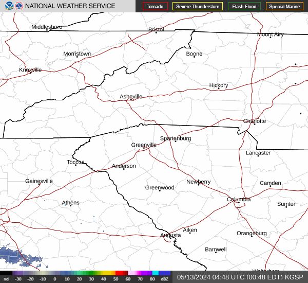

Hourly Weather Forecast


