



Lowell to Impact Hawaii; Heat Persists in the South-Central U.S.
Hurricane Lowell is forecast to pass west of Kauai`s coastal waters tonight. Impacts such as high surf and heavy rain could impact all of the islands. Sweltering heat remains across the South-Central Plains and Lower/Middle Mississippi Valley into this week with limited nighttime relief. Periods of moderate to heavy rainfall will be possible through Tuesday morning in the northern Rockies. Read More >

Current conditions at
Greenwood, Greenwood County Airport (KGRD)
Lat: 34.25° N Lon: 82.15° W Elev: 630 ft.
Light Rain Fog/Mist
73°F
23°C
| Humidity | 90% |
| Wind Speed | NE 7 mph |
| Barometer | 30.13 in (1019.7 mb) |
| Dewpoint | 70°F (21°C) |
| Visibility | 5.00 mi |
| Last update | 7 Sep 11:56 am EDT |
Detailed forecast for
Abbeville County
Today
Partly sunny with a chance of showers. A slight chance of thunderstorms this morning, then a chance of thunderstorms this afternoon. Not as warm with highs around 80. Northeast winds 10 to 15 mph. Chance of rain 40 percent.
Tonight
Partly cloudy. Lows in the mid 60s. Northeast winds 5 to 10 mph.
Tuesday
Sunny. Highs in the upper 80s. Northeast winds 5 to 10 mph.
Tuesday Night
Mostly clear. Lows in the mid 60s. Northeast winds 5 to 10 mph.
Wednesday
Sunny with highs in the upper 80s. East winds around 5 mph.
Wednesday Night
Partly cloudy. Lows in the upper 60s.
Thursday
Mostly sunny. A chance of showers and thunderstorms in the afternoon. Highs around 90. Chance of rain 50 percent.
Thursday Night
Partly cloudy. A chance of showers and thunderstorms in the evening. Lows in the upper 60s. Chance of rain 50 percent.
Friday
Mostly sunny in the morning, then partly sunny with a chance of showers and thunderstorms in the afternoon. Highs in the lower 90s. Chance of rain 50 percent. Heat index values up to 100 in the afternoon.
Friday Night
Mostly cloudy in the evening, then becoming partly cloudy. A chance of thunderstorms in the evening. A chance of showers. Lows in the upper 60s. Chance of rain 50 percent.
Saturday
Mostly sunny. A chance of showers and thunderstorms in the afternoon. Highs around 90. Chance of rain 40 percent. Heat index values up to 100 in the afternoon.
Saturday Night
Partly cloudy. A chance of showers and thunderstorms in the evening. Lows in the upper 60s. Chance of rain 40 percent.
Sunday
Mostly sunny. Highs in the lower 90s. Heat index values up to 100 in the afternoon.
Additional Forecasts and Information
Basemap Options
Click map to change the forecast location
Loading map...
 Forecast Area
Additional Resources
Radar & Satellite Image
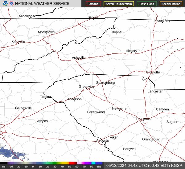

Hourly Weather Forecast


