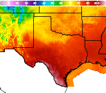
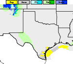
Heavy Rain Continues in South-central Texas; Heat Wave in California
A slow moving front will maintain the threat of flash/urban flooding across southern and central Texas today and the Central Gulf Coast and Southeast through the weekend. Abnormally, potentially record-breaking temperatures will impact southern California and stretch north toward the Bay Area and Central Valley through next week. Read More >

Hazardous Weather Conditions
Dallas/Fort Worth International Airport (KDFW)
Lat: 32.9°NLon: 97.02°WElev: 541ft.
Light Rain Fog/Mist
73°F
23°C
| Humidity | 96% |
| Wind Speed | NE 10 mph |
| Barometer | 30.01 in (1015.6 mb) |
| Dewpoint | 72°F (22°C) |
| Visibility | 5.00 mi |
| Last update | 2 Oct 8:53 am CDT |
Grapevine TX
NOW until 7:00pm Fri

Flood Watch
Today

High: 79 °F
Showers
LikelyTonight

Low: 68 °F
Showers
LikelySaturday

High: 77 °F
Showers
LikelySaturday Night
Low: 68 °F
Slight Chance
T-storms then
Chance
ShowersSunday

High: 81 °F
Slight Chance
ShowersSunday Night

Low: 65 °F
Partly Cloudy
Monday

High: 82 °F
Sunny
Monday Night

Low: 62 °F
Clear
Detailed Forecast
Additional Forecasts and Information
 Forecast Area
ABOUT THIS FORECAST
32.93°N 97.08°W (Elev. 607 ft)


Additional Resources
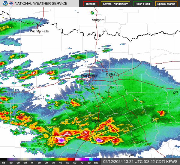
Radar & Satellite Image

Hourly Weather Forecast