Fire Weather Concerns and Severe Weather
Dry and breezy conditions will bring elevated to critical fire weather conditions across portions of the northern and central High Plains through this weekend, where fuels remain largely receptive. Severe thunderstorms and heavy rainfall are possible from the Plains into the Upper Midwest, as well as in the Ohio Valley and portions of the Mid-Atlantic through this weekend. Read More >

St. Louis Regional Airport (KALN)
Lat: 38.89°NLon: 90.03°WElev: 518ft.
Fair
70°F
21°C
| Humidity | 91% |
| Wind Speed | Calm |
| Barometer | 29.98 in |
| Dewpoint | 67°F (19°C) |
| Visibility | 10.00 mi |
| Last update | 13 Sep 1:55 am CDT |
Hillsboro IL
Overnight

Low: 65 °F
Mostly Cloudy
Sunday

High: 85 °F
Partly Sunny
Sunday Night
Low: 60 °F
Slight Chance
Showers then
Mostly CloudyMonday
High: 84 °F
Decreasing
CloudsMonday Night

Low: 68 °F
Mostly Clear
Tuesday
High: 95 °F
Sunny then
Slight Chance
T-stormsTuesday Night

Low: 68 °F
Showers
LikelyWednesday
High: 92 °F
Slight Chance
Showers then
Slight Chance
T-stormsWednesday Night

Low: 70 °F
Partly Cloudy
Detailed Forecast
Additional Forecasts and Information
 Forecast Area
ABOUT THIS FORECAST
39.17°N 89.49°W (Elev. 581 ft)


Additional Resources
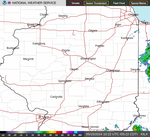
Radar & Satellite Image

Hourly Weather Forecast