Flooding Possible in the Southwest U.S.; Coastal Storm to Impact the East

Heavy to excessive rainfall is expected today into Wednesday over New Mexico into far west Texas. Flash flooding and debris flows in wildfire burn areas will be possible. A strong coastal storm will develop off the Mid-Atlantic coast Wednesday, intensifying toward southern New England this weekend. Significant coastal flooding, strong rip currents, and beach erosion from high surf expected. Read More >

Current conditions at

Farmington Airport (KFAM)

Lat: 37.77°NLon: 90.43°WElev: 945ft.

Overcast

61°F

16°C

Humidity 93%
Wind Speed Calm
Barometer 30.21 in (1023.5 mb)
Dewpoint 59°F (15°C)
Visibility 10.00 mi
Last update 22 Sep 11:56 pm CDT
Extended Forecast for

2 Miles NNW Iron Mountain Lake MO

  • Overnight

    Overnight: Partly cloudy, with a low around 55. Light north wind.

    Low: 55 °F

    Partly Cloudy

  • Wednesday

    Wednesday: Partly sunny, with a high near 74. Calm wind becoming north 5 to 7 mph in the morning.

    High: 74 °F

    Partly Sunny

  • Wednesday Night

    Wednesday Night: Mostly cloudy, with a low around 53. North wind around 5 mph becoming calm  in the evening.

    Low: 53 °F

    Mostly Cloudy

  • Thursday

    Thursday: Mostly sunny, with a high near 76. Calm wind becoming northeast around 5 mph in the morning.

    High: 76 °F

    Mostly Sunny

  • Thursday Night

    Thursday Night: Partly cloudy, with a low around 55. Light northeast wind.

    Low: 55 °F

    Partly Cloudy

  • Friday

    Friday: Mostly sunny, with a high near 78.

    High: 78 °F

    Mostly Sunny

  • Friday Night

    Friday Night: Mostly cloudy, with a low around 55.

    Low: 55 °F

    Mostly Cloudy

  • Saturday

    Saturday: Mostly cloudy, with a high near 77.

    High: 77 °F

    Mostly Cloudy

  • Saturday Night

    Saturday Night: A 20 percent chance of showers and thunderstorms after 1am.  Mostly cloudy, with a low around 56.

    Low: 56 °F

    Mostly Cloudy
    then Slight
    Chance
    T-storms

Detailed Forecast

Overnight
Partly cloudy, with a low around 55. Light north wind.
Wednesday
Partly sunny, with a high near 74. Calm wind becoming north 5 to 7 mph in the morning.
Wednesday Night
Mostly cloudy, with a low around 53. North wind around 5 mph becoming calm in the evening.
Thursday
Mostly sunny, with a high near 76. Calm wind becoming northeast around 5 mph in the morning.
Thursday Night
Partly cloudy, with a low around 55. Light northeast wind.
Friday
Mostly sunny, with a high near 78.
Friday Night
Mostly cloudy, with a low around 55.
Saturday
Mostly cloudy, with a high near 77.
Saturday Night
A 20 percent chance of showers and thunderstorms after 1am. Mostly cloudy, with a low around 56.
Sunday
A 20 percent chance of showers before 1pm. Partly sunny, with a high near 81.
Sunday Night
Partly cloudy, with a low around 58.
Monday
Mostly sunny, with a high near 84.
Monday Night
A 20 percent chance of showers. Partly cloudy, with a low around 60.
Tuesday
A 40 percent chance of showers and thunderstorms. Partly sunny, with a high near 85.
Basemap Options
Click map to change the forecast location
Loading map...

ABOUT THIS FORECAST

 
Point Forecast:
2 Miles NNW Iron Mountain Lake MO
 37.72°N 90.64°W (Elev. 1070 ft)
10:51 pm CDT Sep 22, 2026
12am CDT Sep 23, 2026-6pm CDT Sep 29, 2026
 
Get as KML Get as XML

Additional Resources

Radar & Satellite Image
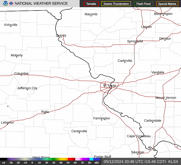
Link to Local Radar Data Link to Satellite Data

Hourly Weather Forecast

National Digital Forecast Database