Areas of Severe Thunderstorms and Excessive Rainfall Thursday
Severe thunderstorms posing a risk for strong gusts and/or large hail are possible across portions of the northern and central Plains, the Lower Missouri to Lower Ohio Valleys, and across the Mid-Atlantic Thursday afternoon and evening. Excessive rainfall may bring flash and urban flooding over the Mid-Mississippi and Ohio Valleys, and Mid-Atlantic on Thursday. Read More >

Clark (CSU81)
Lat: 40.7043°NLon: 106.934°WElev: 7221.0ft.NA
51°F
11°C
| Humidity | 84% |
| Wind Speed | NNW 1 MPH |
| Barometer | NA |
| Dewpoint | 47°F (8°C) |
| Visibility | NA |
| Last update | 08 Jul 11:25 PM MDT |
12 Miles E Hahns Peak CO
Tonight

Low: 49 °F
Isolated
ShowersThursday
High: 65 °F
Isolated
Showers then
Scattered
T-stormsThursday Night
Low: 48 °F
Isolated
T-storms then
Mostly ClearFriday
High: 67 °F
Sunny then
Isolated
T-stormsFriday Night
Low: 50 °F
Slight Chance
Showers then
Mostly ClearSaturday

High: 73 °F
Sunny
Saturday Night

Low: 53 °F
Mostly Clear
Sunday
High: 76 °F
Sunny
Sunday Night
Low: 55 °F
Partly Cloudy
and Breezy
then Mostly
Clear
Detailed Forecast
Additional Forecasts and Information
 Forecast Area
ABOUT THIS FORECAST
40.77°N 106.69°W (Elev. 9800 ft)


Additional Resources
Radar & Satellite Image
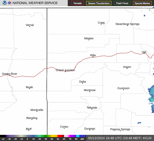

Hourly Weather Forecast